

Preparing a gravel bike outing
Whether you're out for a stroll, to get back into shape or for a workout, there are a number of things to consider before setting out to conquer the secondary wheels and forest trails.
Route planning is certainly the most complex stage for a beginner. Starting out with short distances in an area that's not too far away is ideal for familiarizing yourself with your bike and its equipment.
With each successive outing, your preparation will become more and more adapted to your reality, and you'll gain the confidence to go further and longer.
Numerous websites list tested and approved gravel routes of all levels. These routes are always accompanied by relevant route information, including all points of interest for refuelling. Regional tourism associations (ATRs) collect and promote cycling opportunities in their areas; many municipalities and regional county municipalities (MRCs) also publish cycling routes.
Added to this are community collectives that promote itineraries designed by their members, giving a particular boost to gravel riding. These include Vélo d'aventure des Cantons, Log Driver's Waltz and Québec Bikepacking Traverse.
On a gravel bike, respect for private property is the golden rule. Whether before or during your trip, it's always a good idea to check that you have the right of way on the roads and trails you'll be using.
- Be respectful of the zoning you cross, always pay your access fees and turn back if a road looks private, even if it appears public on the map.
- Find out about hunting seasons and adapt your itinerary accordingly.
- Respect the highway safety code and ensure safe cohabitation with farm vehicles on country roads.
Defining your itinerary: how do you choose a route?
The choice of route depends on your level of experience and your objectives. It's essential to consider the following when exploring uncharted territory.
- Speed of progress depends on the difficulty of the terrain, weather conditions and physical fitness. Plan shortcuts and longer options to adapt the hike, if necessary.
- Cumulative or successive positive vertical drop, Even very gradual changes can have an effect on the physical difficulty of the journey.
- Percentage of slopes must be taken into account when assessing difficulty. Steep climbs require greater physical effort than gradual inclines.
- Type and quality of road surface, These include compacted gravel roads, forest roads strewn with small rocks and sandy paths, all of which present a variety of difficulties requiring varying degrees of energy.
- Number and location of refreshment points influence the frequency of stops and the ability to carry reserves.
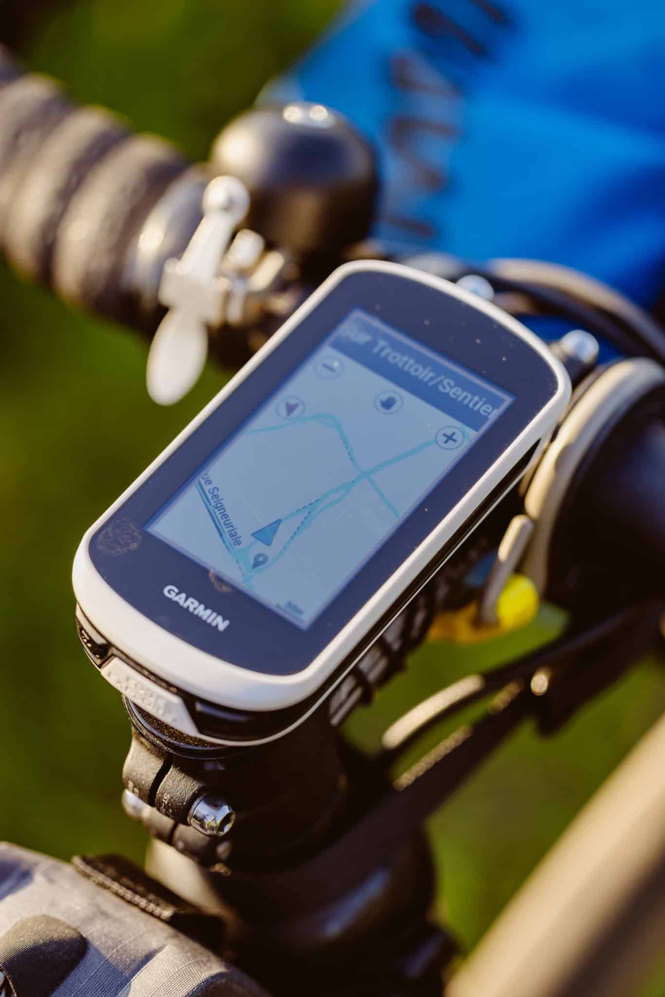
Applications such as Komoot, RidewithGPS or Strava are a great help in mapping out routes, identifying gradients and surface types. It can be easier to adapt an existing route to your needs than to plot one yourself.
Visit the “Quebec by bike”Click here to find out how to get around on a gravel bike.

Depending on the time of year, the terrain chosen, the length and remoteness of the itinerary, and not forgetting your personal needs and limitations, as well as those of your companions, the equipment you need to take on a hike varies considerably. There's no such thing as a ready-made recipe! As each of us gains experience and learns more, we need to refine our needs and perfect the art of preparing for a gravel bike ride.


